IoT and Me 2021 – More Insights into my Project – GPS Pet Tracker
Some time has passed since my last post about Monti and my pet tracker, so I wanted to give everyone who is interested a few more insights.
Always trouble with the harness
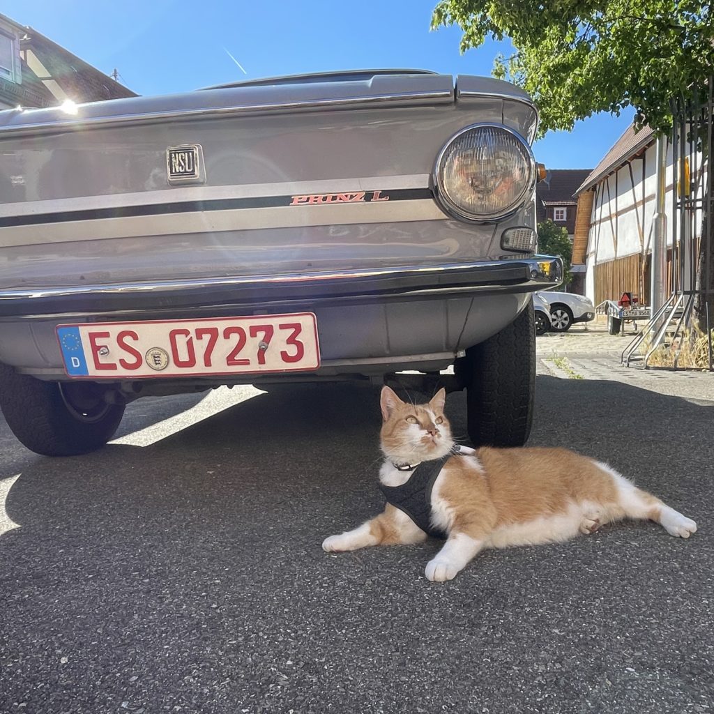
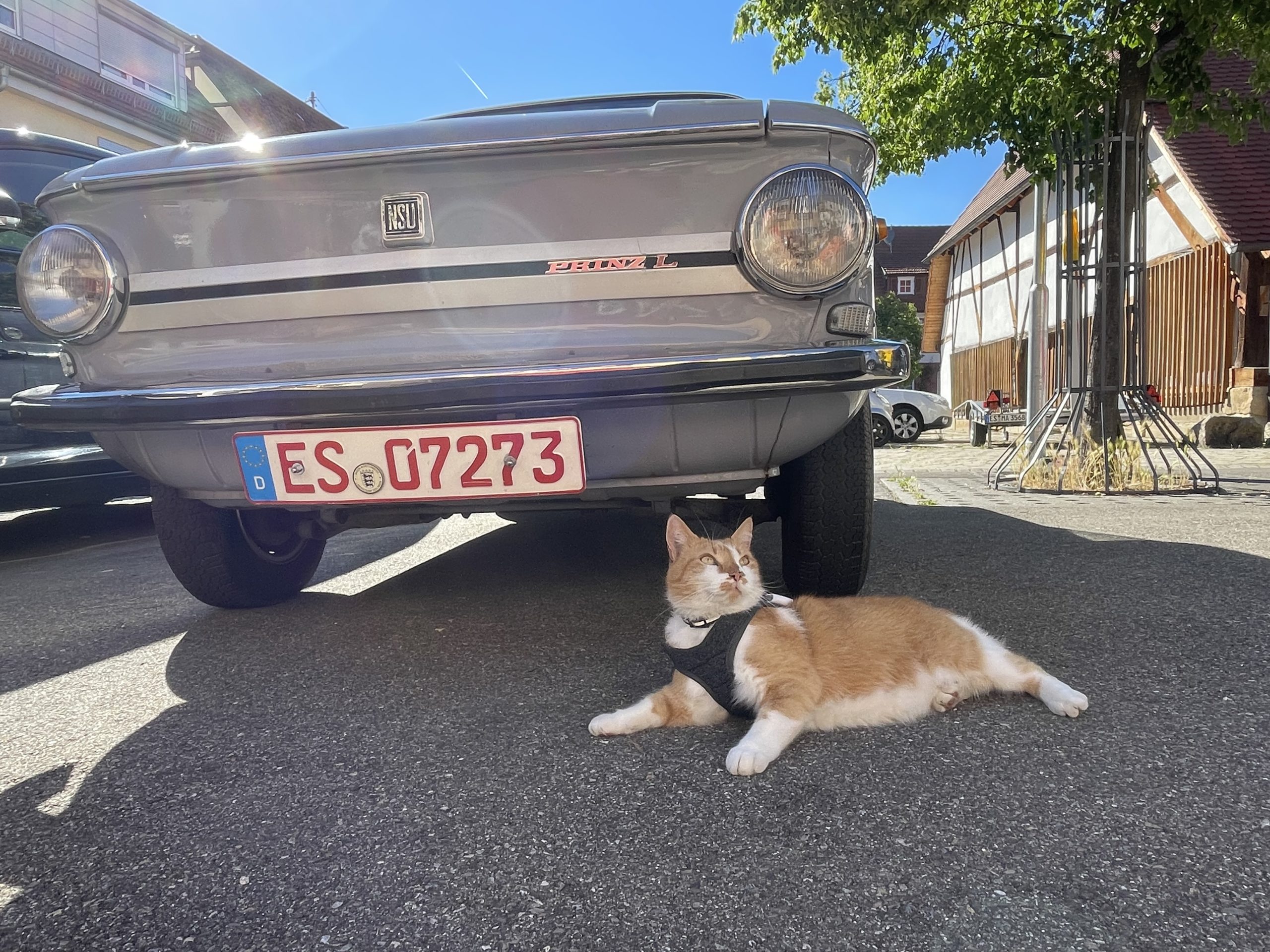
Unfortunately, Monti is still of the opinion that he doesn’t want to wear anything else on his body apart from his fur and accordingly continues to resist his harness.
It can be put on without any problems, but he continues to give me the cold shoulder and starts the sit or lie down strike.
Last weekend I was able to persuade Monti to take a little tour around the house, including the sensor and harness.

evaluation of the data
I can evaluate the data I get from Montis Sensor with the help of the B.One Gallery.
That’s the interesting part, because it allows me to understand where Monti was going.
In the B.One Gallery you can find the positions under Charts –> Positions once you have selected the Browan Tabs sensor. Here you can now define the desired time range and choose whether the positions should be displayed grouped or separately and whether the route should be marked by connecting lines.

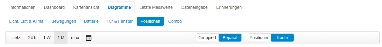
For the evaluation of the data from last Sunday, I have decided on separate positions and the display as a route.

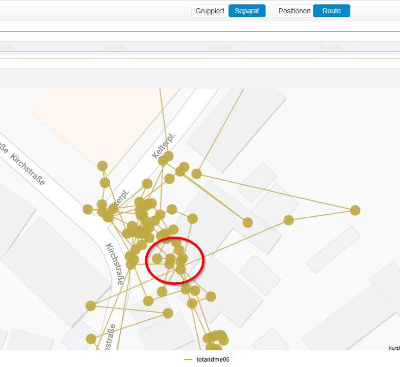
Monti wore the harness for about 4 hours from 2:00 p.m. to 6:00 p.m. and therefore walked back and forth a lot. Monti lives in the house marked in red and the positions in and around it show the path he has walked. As you can see, he walked back and forth a lot, but never went far from the house. 
What’s next?
There are two major tasks for the future.
The first challenge is the same as before. To get Monti used to his harness until he does his rounds with it as normal.
And the second challenge is to improve the user experience. I’m happy with the view in the B.One Gallery, but unfortunately it’s not ideal for a quick look because it offers too much information for a quick check.
I have already set up a small automation for this, with which you can receive a Google Maps link with the last known location on your smartphone by commanding a telegram bot.
To do this, add the bot I created to a group in Telegram and it then waits for the previously defined command word “Monti”. As soon as the bot receives the command, it looks into the database and outputs the last known location as a link to Google Maps.
![]()
The bot will later have even more functions, such as the option of displaying the route in a similar way to how it is displayed in the B.One Gallery or being able to select a specific point in time instead of just the most recent location.
short interview
In this and my last post I have already written a lot about my project and if you want to hear more you can look forward to the interview that I conducted with Michael and will soon be online in the form of a blog post.
Recommend0 recommendationsPublished in B.One Gallery, City and Country, Minol ZENNER – IoT and Me, Minol-ZENNER Group, Stuttgart, Use Cases, Visualization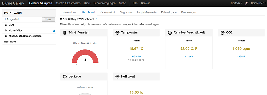
Responses